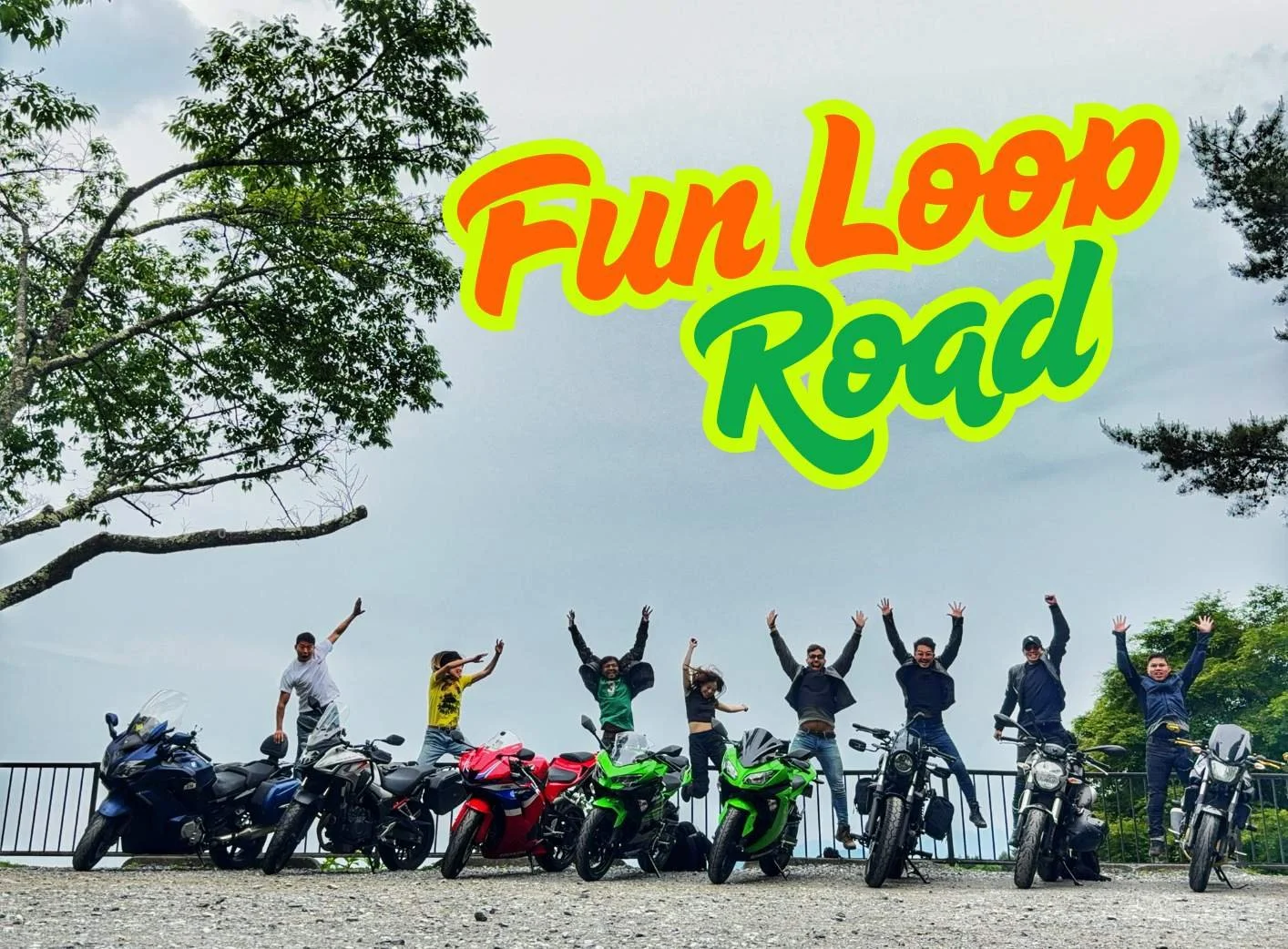
Best Rides in Japan’s Kanto Region
Kanto. Home to Tokyo, roughly one-third of Japan’s entire population, and about three million vehicles crammed onto roads designed for roughly twelve. Lane splitting here isn’t a choice—it's a survival instinct. Even grandmas on 50cc scooters are slicing through traffic like caffeinated ninjas. Expect to inhale exhaust fumes like they’re premium perfume, hunt for parking like it’s the last oasis in a desert, and get lost in highway spaghetti junctions seemingly mapped by someone who threw noodles at a wall and said, "Yeah, that'll do."
But here's the good news: escape the neon-lit chaos of Tokyo, and within an hour you're carving glorious curves through the lush greenery of Okutama or heading south into Hakone’s volcanic hot springs and roads twistier than a politician’s promises. Push a little further north into Gunma and Tochigi, and you're treated to spectacular mountain scenery, Japan’s highest national road, and iconic driving routes straight out of the legendary manga series Initial D.
Even within the concrete jungle, motorcycling thrives. Meet petrolhead friends at Daikoku Futo, explore underground vehicle culture at Akihabara UDX, or snap envy-inducing photos along Yokohama’s Minatomirai waterfront. Top it all off with a scenic night ride across Rainbow Bridge or Bay Bridge—because city lights always look better from the seat of a motorcycle.
Here’s your guide to the absolute best motorcycle roads Kanto has to offer—trust me, they're worth skipping whatever else you were planning to do today.
The Map
292 Asama Shirane Sawayaka Line


Route 292 climbs from Kusatsu Onsen to Shiga Kogen, reaching a dizzying 2,172 meters—making it the highest national highway in Japan. The 50 km stretch serves up sweeping curves, alpine meadows, and steaming volcanic vents. It’s like riding through a nature documentary... if David Attenborough had a sport bike.
The best time to tackle it is late April to early May, when the towering snow walls still line the road. You’ll feel like you’re threading a motorcycle through a freezer aisle built by giants. In autumn, the same stretch erupts in fiery foliage that’ll make even the toughest rider stop for a selfie—though they’ll pretend it’s just to check tire pressure.
The pavement is smooth, the corners are satisfying, and the elevation gain is enough to make both your lungs and engine work for it. But be warned: the weather up here changes moods faster than a rider stuck behind a Prius.
Quick Stats:
Length: 50 km
Road Condition: Smooth, alpine curves
Seasonal Closure: Mid-November to late April
Tolls: None
Nearby Attractions: Kusatsu Onsen, Shiga Kogen, Manza Highway, Tsumagoi Panorama Line
18 Old Usui Touge


Old Usui Pass is a historic mountain road that once formed part of the Edo-period Nakasendō and later carried Japan’s famed rack-and-pinion railway. Today, it offers motorcyclists a tight, technical climb through dense forest and steep terrain, packing around 180 hairpins into just 19 kilometers. If the Tail of the Dragon had a quiet, brooding Japanese cousin who preferred silence and discipline over showboating, this would be it.
The pass also played host to the Yuji Kase Cup Montre, a stage of the Japanese Rally Championship. Which is a nice way of saying that if you mess up a corner, you're not the first. The road is narrow, the pavement is aged but reliable, and the entire experience rewards smooth inputs and laser focus. Twist the throttle too hard, and you may find yourself testing the local guardrails—if they exist.
One of the highlights is Megane-bashi, a brick viaduct from the old Usui railway that looks like it was designed by someone who wanted to build an aqueduct but got distracted halfway through. It is oddly beautiful, especially after your 150th corner.
Quick Stats:
Length: Approx. 19 km
Road Condition: Twisty, aged but well maintained
Seasonal Closure: Generally open year-round
Tolls: None
Nearby Attractions: Megane-bashi Viaduct, Karuizawa, Usui Pass Railway Heritage Park, Onioshidashi Lava Park
206 Okutama Shuyu Road


Route 206, also known as the Okutama Shuyu Road, is Tokyo’s unofficial mountain racetrack. It stretches 19.7 kilometers through forested hills between Okutama and Hinohara, offering smooth pavement, flowing corners, and a much-needed break from the city sprawl. It is one of the few places where you can leave central Tokyo behind and, in under two hours, be leaning into twisties with nothing but trees and throttle for company.
In the 1980s and 90s, this road was a magnet for Japan’s two-stroke street racers, who treated it like a private circuit. These days, the pace is more responsible, but the spirit lives on. On weekends, the stretch between Mito Bridge and Hinohara Tokyo Citizen’s Forest fills with riders chasing imaginary lap times and swapping exaggerated stories over vending machine coffee.
The road itself is in excellent condition, with good grip and a rhythm that rewards smooth inputs and good line work. It feels fast without needing to be reckless. That said, this is still a public road with regular police patrols. The area is remote, and if you overcook a corner, help may take up tow 2 hours to arrive. In other words, ride hard but ride smart.
Quick Stats:
Length: 19.7 km
Road Condition: Smooth, twisty, well maintained
Seasonal Closure: Gates closed at night (Apr to Sep: 8:00 to 19:00, Oct to Mar: 9:00 to 18:00)
Tolls: None
Nearby Attractions: Nippara Limestone Cave, Mugiyama Pontoon Bridge, Kanoto Rock, Kobayashi Family Residence, Shiromaru Dam Fish Ladder
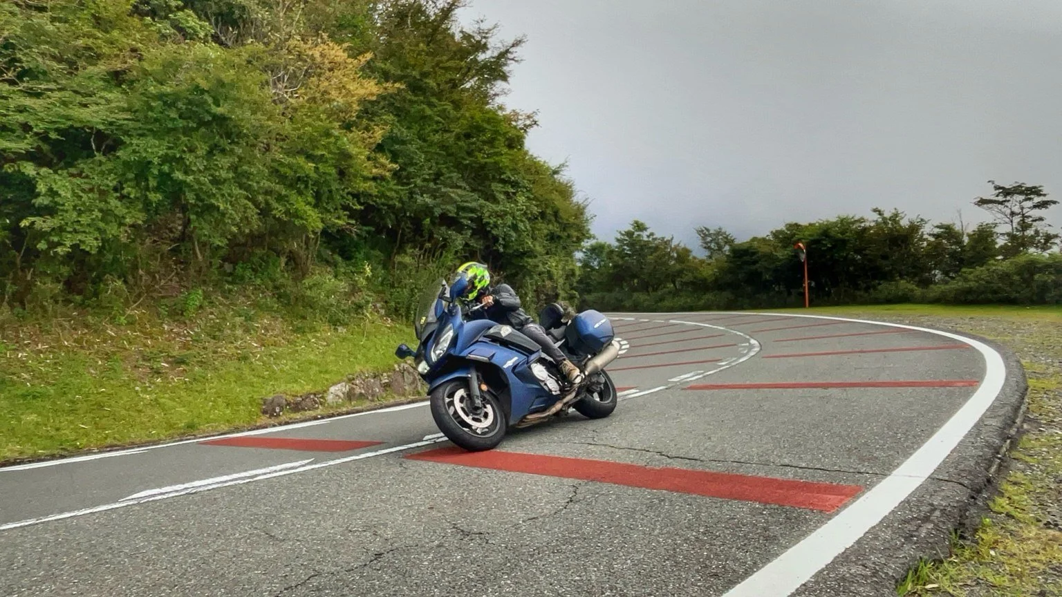
Hakone Turnpike
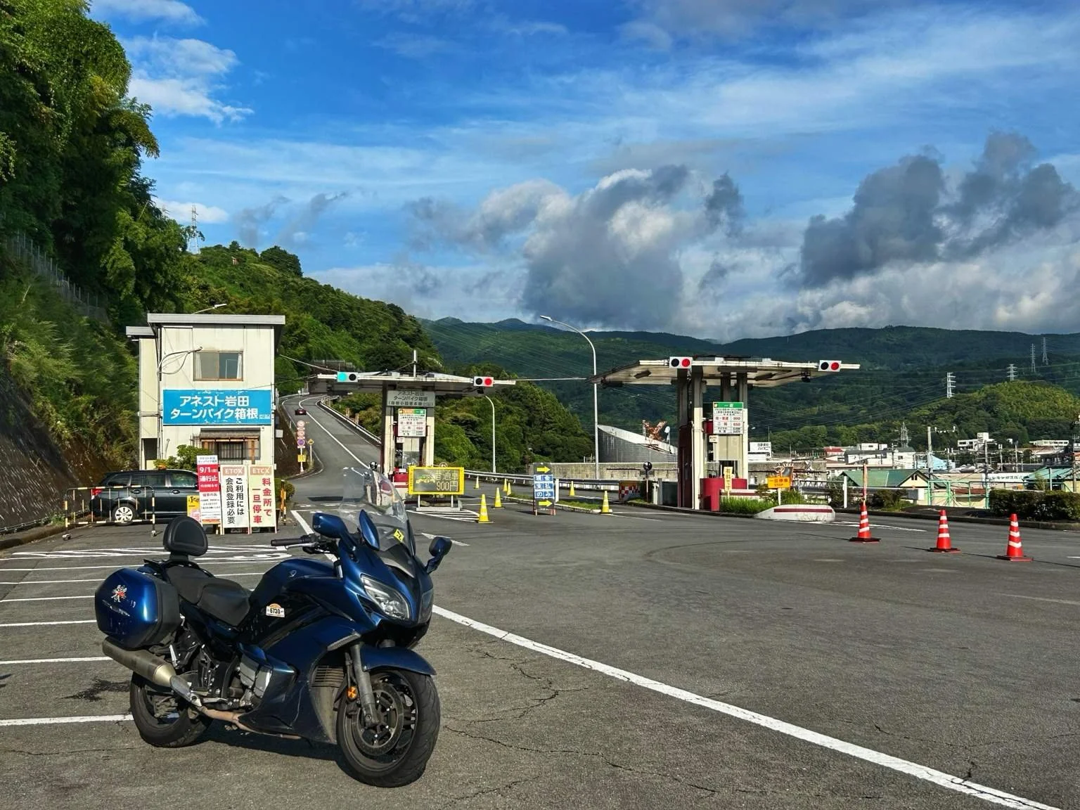


Start in Odawara, hand over 650 yen at the toll gate, and within minutes you’ll be gliding up one of Japan’s most iconic stretches of mountain road. The Hakone Turnpike isn’t just a road—it’s a red carpet for anyone with an engine and a mild addiction to drama. With buttery-smooth asphalt, wide sweeping curves, and long open stretches, it’s where motorcycles come to feel alive and riders come to feel fast.
Originally opened in 1955 as a scenic bypass for Route 1, this 15.8-kilometer toll road climbs over 1,000 meters, delivering panoramic views of Sagami Bay and, on clear days, a front-row encounter with Mt. Fuji. The perfectly cambered turns and high-speed elevation gain have earned it a reputation as Japan’s answer to the Nürburgring—only shorter, more scenic, and with better vending machines.
Back in its wilder years, the Turnpike was a favorite among drifters and rogue racers. Today, it’s more like a moving showroom for supercars, sport bikes, and weekend warriors who think caffeine counts as race fuel. Early mornings offer the best ride, with clean lines and low traffic. Later in the day, expect a parade of Ferraris, Hayabusas, and the occasional minivan doing its best impression of a track car.
The road crests at Mt. Daikanbo Observation Deck, where Mt. Fuji looms like a final boss in a landscape photo. Heading south, there’s a second toll gate—but if you veer off on Route 75 toward Lake Ashi, you can quietly dodge it. It’s a not-so-secret local shortcut that every rider seems to know, but no one ever officially mentions.
Quick Stats:
Length: 15.8 km
Road Condition: Wide, smooth, flowing with long corners
Seasonal Closure: Open year-round, occasional weather-related closures
Tolls: Yes (approx. ¥650 for motorcycles)
Nearby Attractions: Mt. Daikanbo Observation Deck, Lake Ashi, Hakone Shrine, Owakudani, Ashinoko Skyline & Hakone Skyline, Tsubaki Line, Hakone Checkpoint, Hakone Karakuri Musem, and Amasake Tea House.
Ashinoko Skyline & Hakone Skyline

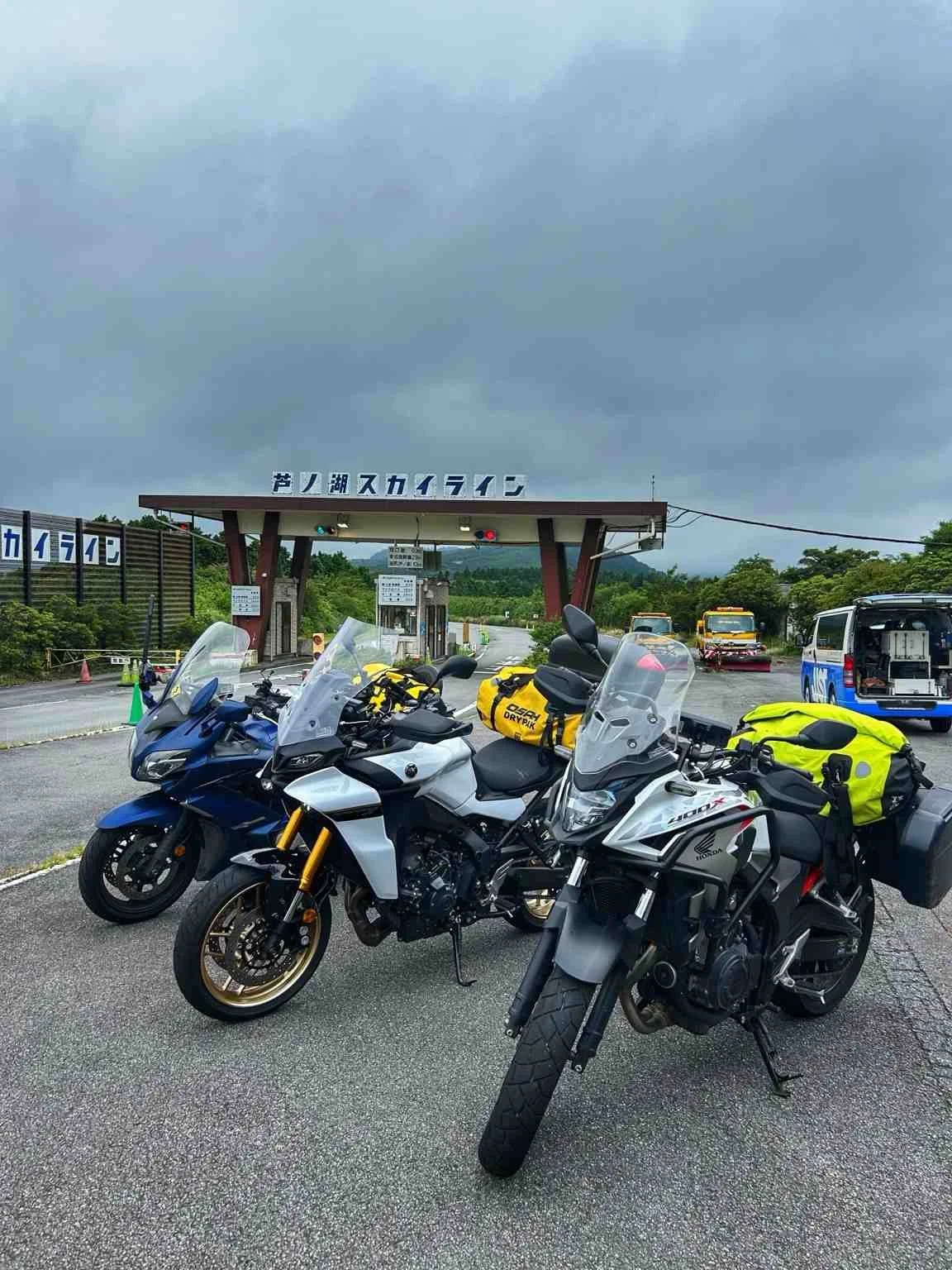


Riding the Hakone and Ashinoko Skylines is like tracing the edge of an ancient caldera with two wheels and a great excuse to skip everything else on your itinerary. These two scenic toll roads wind along the western ridge of the Hakone mountains, offering smooth pavement, well-paced corners, and clear views of Mt. Fuji and Lake Ashi that are almost distracting enough to get you in trouble.
The Hakone Skyline, located just north of the Ashinoko Skyline, is the older of the two and climbs quickly through volcanic ridgelines with lookout points over Sagami Bay and the Izu Peninsula. The road flows well, and with fewer crowds than other Hakone routes, it rewards early-morning riders with clean lines and quiet curves.
Just south, the Ashinoko Skyline picks up the pace along the western rim of Lake Ashi. Opened in 1972, this 10.8-kilometer stretch delivers wide turns, Fuji-facing rest stops, and even a melody road that plays a tune when you hit the grooves just right. Because in Japan, even the asphalt wants to entertain you.
Quick Stats:
Length: Approx. 25 km combined
Road Condition: Smooth, well-maintained, ridge-top twisties
Seasonal Closure: Open year-round, occasional weather closures
Hours: 7:00 am to 7:00 pm
Tolls: ¥360 for Hakone Skyline, ¥300 for Ashinoko Skyline (motorcycles)
Nearby Attractions: Lake Ashi, 731 Hakone Kintaro Line, Initial D Nagao pass, Kintaro Fujimi Line, Owakudani volcanic valley, Fujimi Cafe
A List of Initial D Roads
Welcome to the asphalt battlegrounds of Initial D—a collection of real-life roads across the Kanto region that inspired the legendary street races of the manga and anime. These passes and touges aren’t just scenic mountain routes. They’re characters in their own right, each with their own rhythm, reputation, and challenge. Whether you're chasing the perfect line or just reliving your favorite battles from the series, this list is your starting grid.
From the hairpins of Irohazaka to the high-speed sweepers of Hakone Turnpike, here are the iconic roads that made tofu deliveries feel like Grand Prix finals.
On the map, you’ll find each Initial D road marked with a checkered flag.
-
Enna Skyline
Happogahara
Hakone Turnpike
Irohazaka 120
Maze Pass
Momiji Line 19
Mt Akagi 4
Mt Haruna 33
Mt Myogi 196
Nagao 401
Nanamagari 732
Sadamine 11
Shomaru Pass
Tsuchisaka Touge 71
Tsubaki Line 75
Old Usui 18
Yabitsu Touge 70
Final Thoughts: Ride Kanto, Ride Deeper
Kanto isn’t just the beating heart of Japan, it’s a winding, high-octane playground for motorcyclists. From alpine climbs like Route 292 to the legendary turns of Initial D fame, these roads are packed with history, scenery, and enough curves to keep your tires honest. But truth be told, I’ve only scratched the surface.
There are still plenty of fun roads I didn’t mention like Route 299 or my latest obsession, the Kintaro Line tucked into the Hakone hills. And that’s part of the magic. Half the fun of riding in Japan is exploring the backroads, finding your own hidden gems, and carving new lines no one told you about.
So if you’ve got the time, fire up the bike, use my map as a starting point, and go get lost in the best way possible. The road will always have something waiting.